Island guide
The northern cliffs of Marie-Galante
The northern cliffs are easiest to see at Gueule Grand Gouffre, a sinkhole some fifty meters across that opens onto the ocean through an arch, a few steps from the parking lot, then at Caye Plate, a fifteen-minute drive farther on. Allow half an hour from the villa and half a day for both stops. For a foretaste, the Galeries trail starts on the villa’s own road.
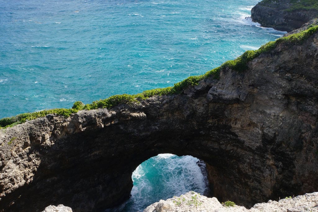
A limestone plateau, cut off sheer
Marie-Galante is a plateau of coral limestone, uplifted and then split by a fault, the Barre de l’île. To the north and northeast it drops into the Atlantic in cliffs nearly sixty meters high, which the swell carves into arches, caves and coves. This coast has been a protected natural site since 2004, covering 1,100 hectares. Seabirds nest here, including tropicbirds with their long white tails.
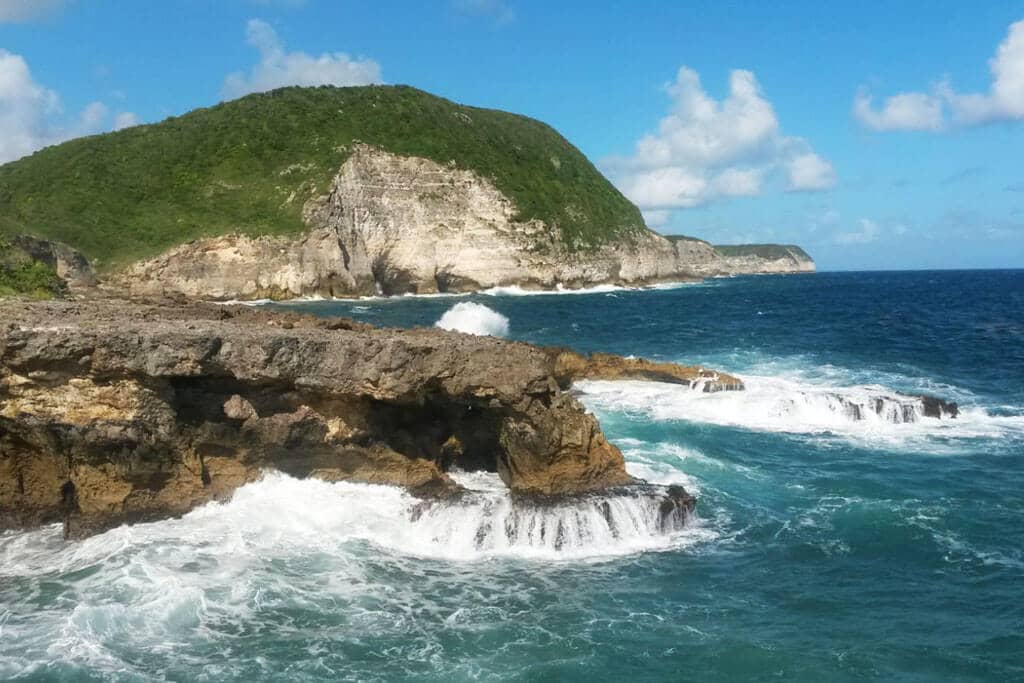
Gueule Grand Gouffre
This is the best-known site, in the commune of Saint-Louis: a sinkhole formed by a collapse, some fifty meters across, where the sea comes in through an arch. You look down on it from a viewing platform protected by wooden barriers. From Saint-Louis, head toward Vieux-Fort, then follow the signs; the last five hundred meters are a stony track leading to a free parking lot. Access is free, with no opening hours and no services on site. Going down into the sinkhole is forbidden.
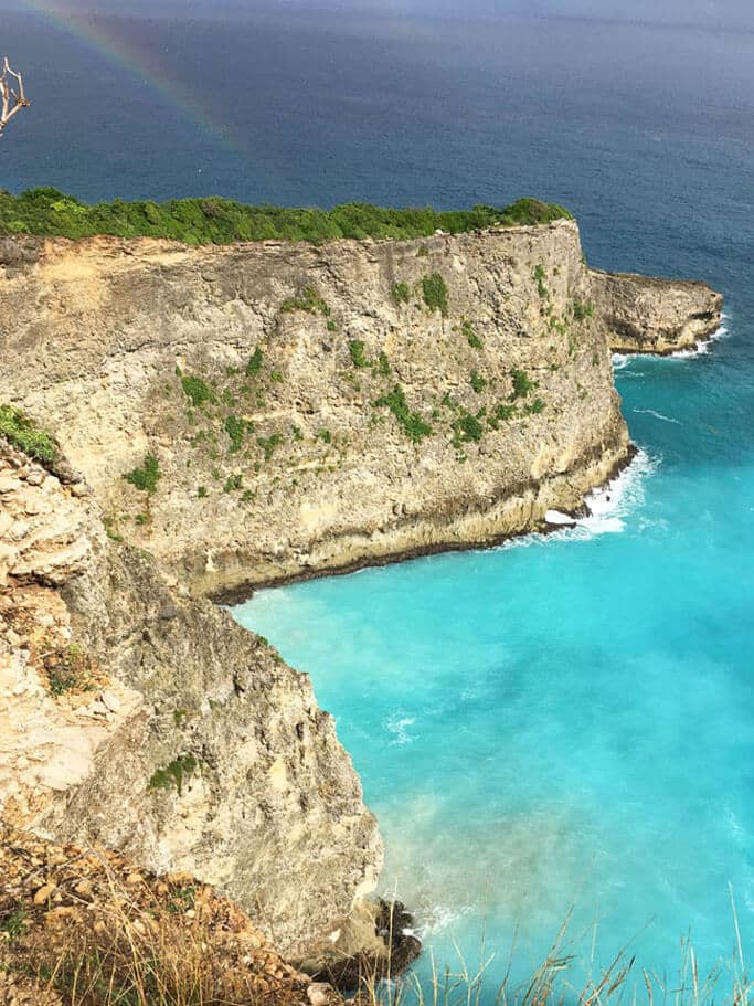
Caye Plate
Farther east, Caye Plate is a rocky promontory that juts out from the great cliffs. A crushed-stone track, on the left of the road six kilometers after Vieux-Fort, leads to a parking area; from there a path reaches the edge of the plateau, with a view over a coastline notched with coves. Always keep well back from the drop. The small beach below is dangerous for swimming.
The trails
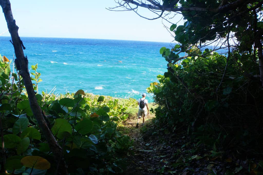
- Galeries trail (Capesterre): a 45-minute loop starting from the Route des Galets, at Capharnaüm, very close to the villa. Old sea caves and rocks sculpted by the swell; slippery in places, not recommended for young children.
- Anse du Coq trail (Saint-Louis): a 3 km loop, 1.5 hours, with a view of the Caye Plate headland and a steep descent to the beach.
- Trace des falaises: 9.9 km one way, about 4 hours, from Borée to the Sainte-Thérèse chapel, via Anse Piton and Caye Plate. Leave a second car at the far end.
- Vieux-Fort trail: an easy 9 km loop, 3 hours, starting from Anse Canot.
All four trails were listed as “accessible” on September 1, 2026 by the Rando Guadeloupe hiking portal.
Precautions
- The limestone is fragile and gusts come without warning: do not cross the barriers and, elsewhere, keep away from the edge, especially with children.
- There is little shade and no water: set off early (never after 3:30 pm, the tourist office advises), with a hat, good shoes and plenty to drink.
- Give up in rainy weather, when the trails turn slippery, and whenever Météo-France issues a wind or wave warning for Guadeloupe.
- Along the shore, do not shelter under manchineel trees, which are ringed with red paint.
After the walk, a swim: Anse Canot and Vieux-Fort are fifteen minutes from Gueule Grand Gouffre (see the beaches).
Read next
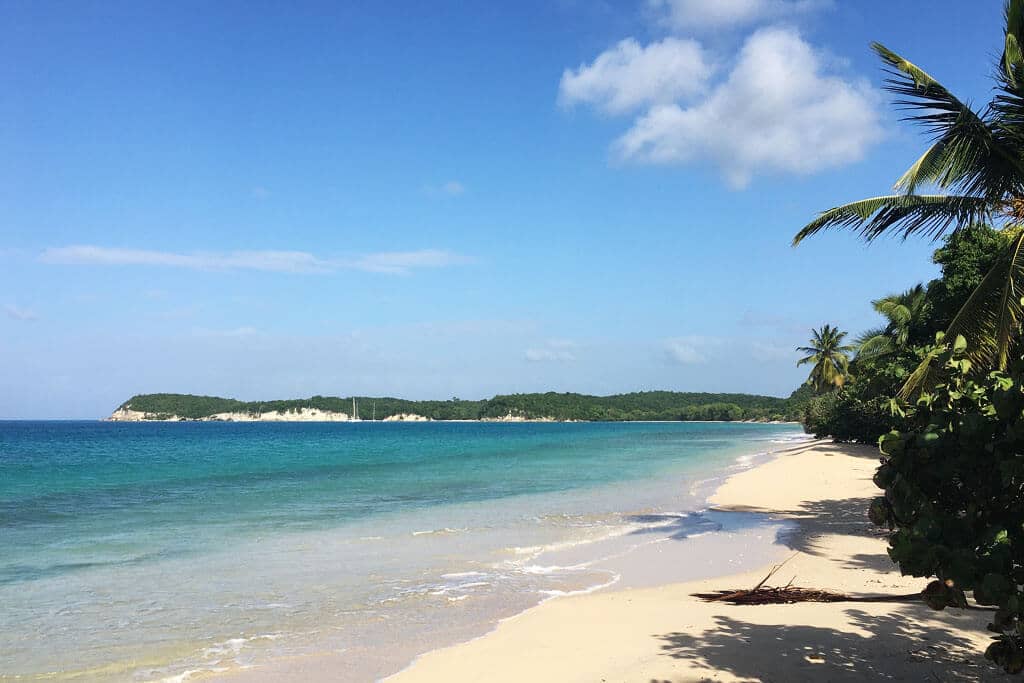
The beaches
Which one to pick with children, for snorkeling or to be alone, and how many minutes away.
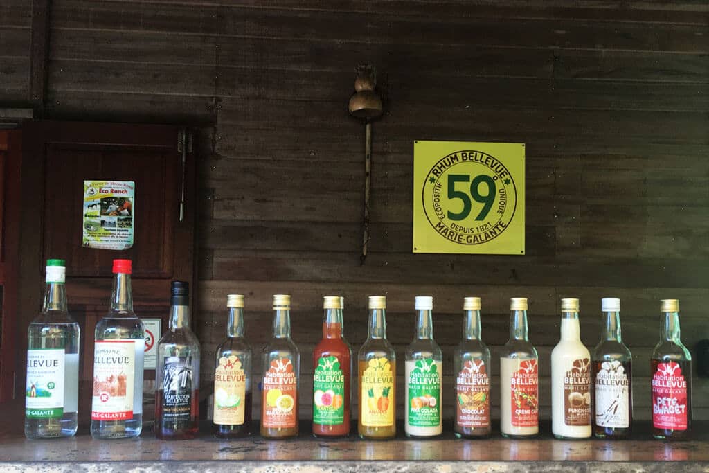
The distilleries
Bellevue, Bielle, Père Labat: three free visits, mornings only, and a rum bottled at 59%.
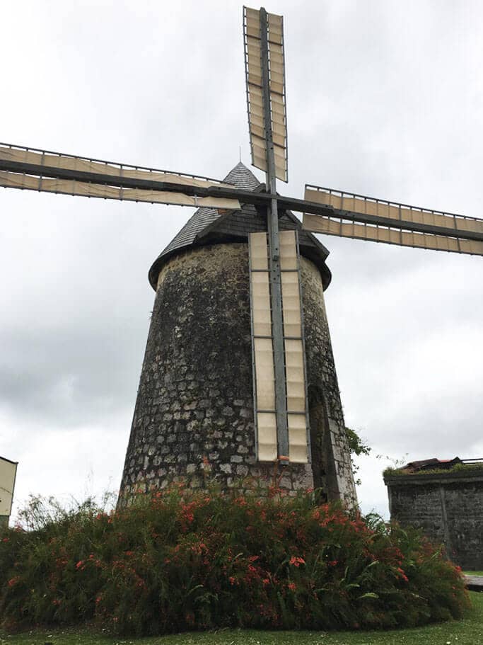
The windmills
The island of a hundred windmills: Habitation Murat, Bézard and two centuries of sugar history.
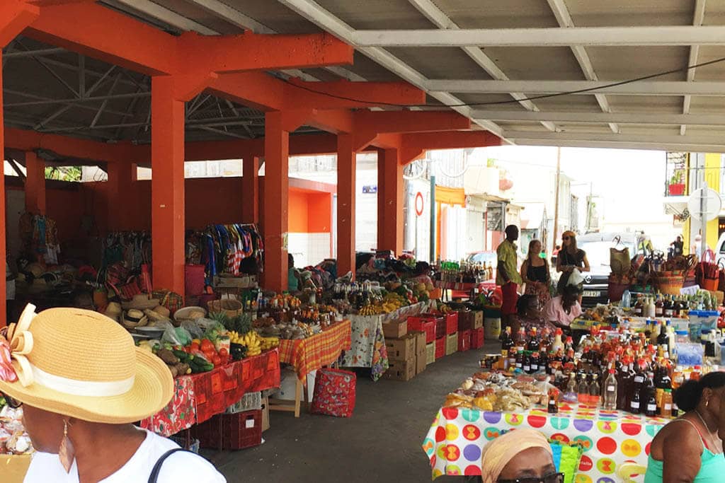
Grand-Bourg market
Saturday morning on the church square: fruit, spices, cassava flatbreads; fish at the harbor every day.
Sources
- DEAL Guadeloupe — protected site of Marie-Galante’s eastern cliffs (in French)
- Conservatoire du littoral — cliffs of Marie-Galante (in French)
- Marie-Galante tourist office — Gueule Grand Gouffre (in French)
- Marie-Galante tourist office — Caye Plate (in French)
- Marie-Galante tourist office — hiking trails and walkers’ charter (in French)
- Guadeloupe Islands tourist board — Gueule Grand Gouffre (in French)
- Rando Guadeloupe — Trace des falaises de Marie-Galante (in French)
- Rando Guadeloupe — Galeries trail (in French)
- Rando Guadeloupe — Vieux-Fort trail (in French)
- Rando Guadeloupe — trail conditions as of September 1, 2026 (in French)
- Météo-France — weather warnings for Guadeloupe (in French)
- CNES, Géoimage — Marie-Galante, a sugar island (in French)
- Route from the villa to Gueule Grand Gouffre (OpenStreetMap, OSRM)