Plan your trip
Sargassum and hurricanes on Marie-Galante
Sargassum seaweed mostly hits Marie-Galante’s east coast, from spring to late summer, in amounts that vary widely from year to year; hurricane season runs from June 1 to November 30, most active from mid-August to mid-October. Here is how to keep track, and what our rental terms provide.
Sargassum seaweed
Yes, Capesterre is exposed to sargassum: Marie-Galante’s east coast is on the front line, the west coast far less so.
- What it is: floating brown seaweed (Sargassum natans and fluitans) that drifts in mats. Mass strandings have hit the Caribbean since 2011.
- When: mostly from spring to late summer, peaking from May to July; in 2025, from mid-March to mid-September, with a few arrivals until December. Amounts vary widely: 2011 to 2017 were quiet, 2018 remains the record year, and 2026 ranked third at the end of May.
- Where: pushed by the trade winds and currents from the east, it washes up on east- and southeast-facing shores; on Marie-Galante, Capesterre’s town center, La Feuillère and Petite Anse are the hardest hit. On the west coast, around Saint-Louis and Anse Canot, the wind usually keeps it offshore, though some can drift in.
- The smell: rotting sargassum gives off hydrogen sulfide, which smells of rotten eggs. The regional health agency (ARS) advises avoiding covered beaches and swimming among the mats, and asks vulnerable people (young children, pregnant women, people with asthma…) to move away once they notice the smell.
- To keep track: the Météo-France forecast (4-day stranding risk), Gwad’Air’s daily map (hydrogen sulfide), and advice from the ARS and the prefecture, all in French.
If Capesterre’s beaches are affected, the west coast is half an hour away: see the beaches.
Hurricane season
Hurricane season runs from June 1 to November 30, with most activity from mid-August to mid-October and a statistical peak on September 10. When a storm threatens, the local prefecture issues color-coded alerts:
- yellow: possible threat within 48 to 72 hours;
- orange: the threat is taking shape, within 24 to 36 hours;
- red: likely threat within 6 to 18 hours;
- purple: imminent threat, within 3 to 6 hours;
- gray: the worst is over.
Read next
The beaches
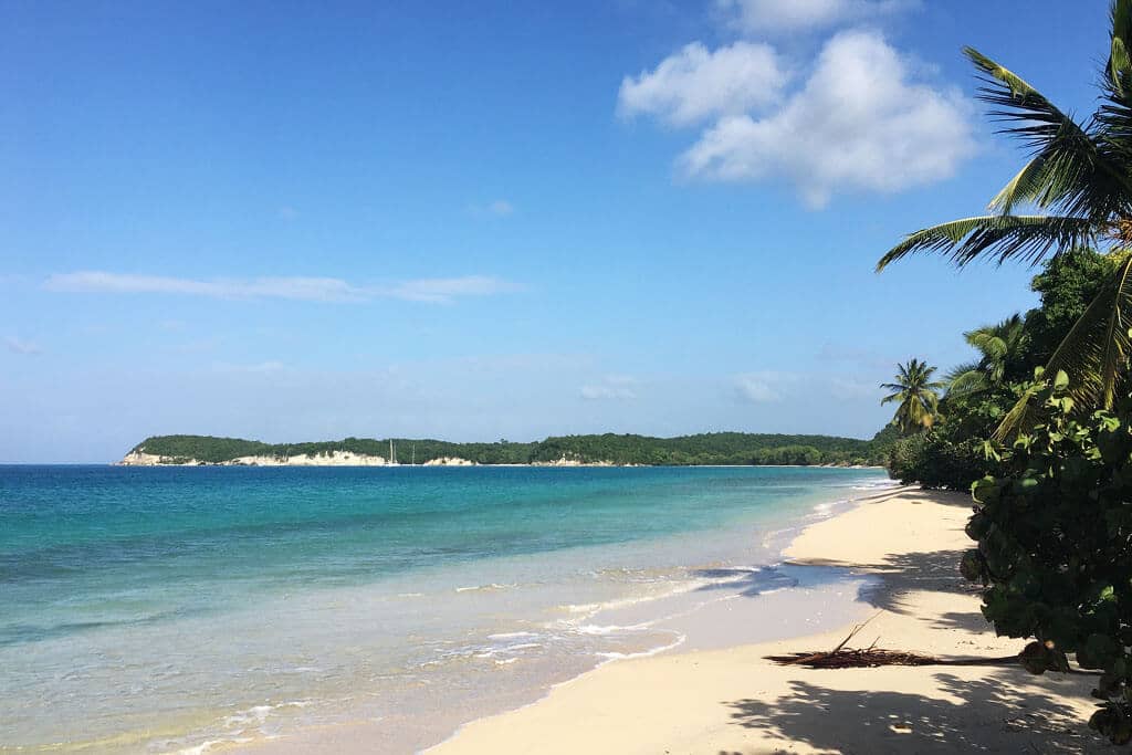
Fourteen beaches compared: which one to pick with kids, for snorkeling or for the sunset, and how many minutes away.
The northern cliffs
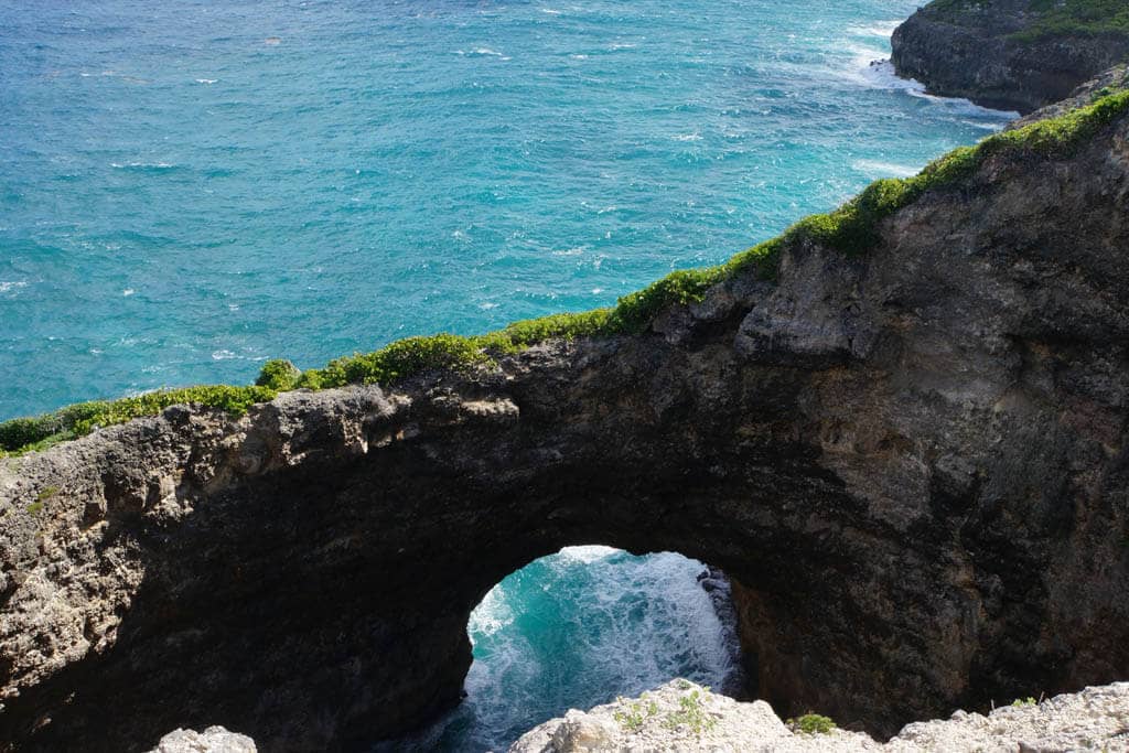
Gueule Grand Gouffre, Caye Plate and the coastal trails, with the precautions to take.
The distilleries
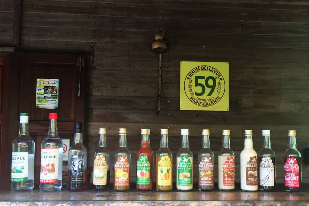
Bellevue, Bielle, Père Labat: three free visits, mornings only, and a rum bottled at 59%.
The windmills
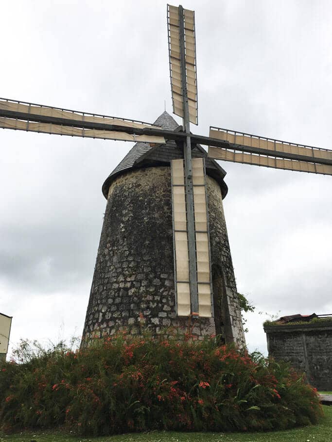
The island of a hundred windmills: Habitation Murat, Bézard and two centuries of sugar history.
Grand-Bourg market
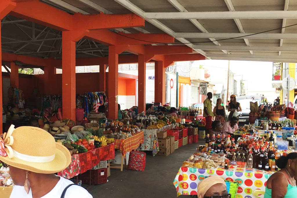
Saturday morning on the church square: fruit, spices, cassava flatbreads; fish at the harbor every day.
When to go
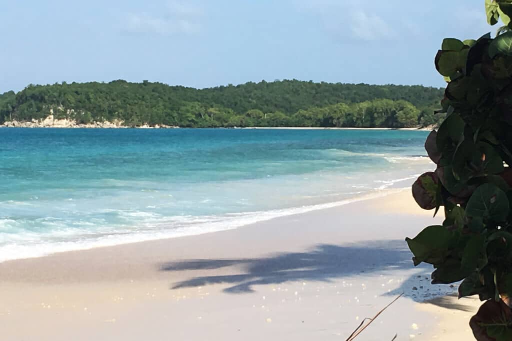
Seasons, weather and sea temperatures month by month, festivals.
Sources
- NOAA, National Hurricane Center — Atlantic tropical cyclone climatology
- Guadeloupe prefecture — hurricane alert levels, October 18, 2023 (in French)
- Météo-France — sargassum stranding forecast (in French)
- Météo-France — 2025 review of sargassum strandings in Guadeloupe (in French)
- Météo-France — the 2026 sargassum season at mid-point, June 11, 2026 (in French)
- Météo-France — how a seasonal current eases late-summer strandings, August 21, 2026 (in French)
- Météo-France — sargassum bulletin, March 8, 2021: Marie-Galante’s east coast (in French)
- Météo-France — sargassum bulletin, March 2, 2020: leeward coasts (in French)
- CNES, Géoimage — Marie-Galante, a sugar island: sargassum on the east and southeast coasts (in French)
- Guadeloupe regional health agency (ARS) — sargassum (in French)
- Guadeloupe regional health agency (ARS) — sargassum questions and answers (in French)
- Gwad’Air — daily air readings near sargassum strandings (in French)
- Route from the villa to Anse Canot (OpenStreetMap, OSRM)
- Guadeloupe prefecture — sargassum (in French)